Dock Placement Mistakes on Big Rideau Lake: What Cottage Owners Get Wrong
Big Rideau Lake is not a sheltered inland pond. It is a large, open, wind-exposed body of water within a federally managed system. Dock placement decisions that work on smaller lakes often fail here.
On Big Rideau, positioning matters as much as dock type.
Ignoring Wind Fetch Across Open Water
One of the most common placement errors is underestimating wind exposure.
Big Rideau has long fetch zones where wind travels uninterrupted across open water before reaching shore. That energy translates directly into wave force at the dock face. Placement that looks ideal on a calm day may become high-impact during sustained wind.
Because Big Rideau is part of the Rideau Canal system, water movement is influenced not only by weather but also by broader canal management.
Understanding exposure direction and prevailing winds before installation prevents premature wear on connections and decking.
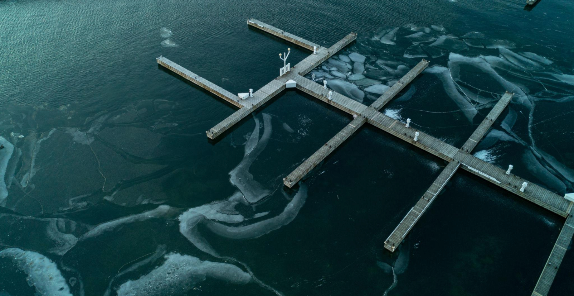
Placing Docks in Ice Pressure Paths
Winter ice does not move evenly across large lakes. Wind and shoreline contour create predictable pressure zones where ice shove is more aggressive.
Placing a dock directly in a shoreline funnel or narrow bay without considering winter pressure patterns often leads to structural stress or shoreline damage.
Regional watershed oversight and monitoring are managed locally through the Rideau Valley Conservation Authority.
While ice behavior varies year to year, shoreline orientation consistently influences where pressure concentrates.
Misjudging Depth Transitions
Big Rideau shorelines vary significantly. Some properties have gradual slope. Others drop off quickly within a few feet of shore.
Placing a dock too shallow can limit boat access later in the season. Placing it too deep without accounting for water level fluctuation can create stability challenges.
Evaluating depth transitions before finalizing layout reduces mid-season repositioning.
Depth, orientation, and seasonal water variability must be considered together.
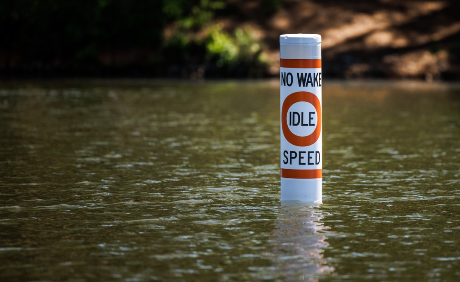
Blocking Natural Navigation Paths
Big Rideau is an active recreational corridor. Navigation clearance matters more here than on smaller private lakes.
Dock extensions that project too far into travel corridors can create both safety concerns and regulatory complications. Placement should respect common boating routes and visibility lines.
Municipal planning context for waterfront development within the Township of Rideau Lakes provides additional local regulatory guidance.
Understanding where private shoreline ends and shared navigation space begins is essential.
Overbuilding Toward Open Water
Extending a dock directly into the most exposed section of shoreline can seem like a way to access deeper water. On Big Rideau, that often increases long-term maintenance and structural strain.
Strategic angling or repositioning within protected contours can reduce exposure without sacrificing usability.
Dock selection and lift integration decisions should follow shoreline analysis rather than precede it.
Placement Before Permits
Another recurring issue is finalizing dock position before confirming permitting boundaries.
Federal oversight through Parks Canada and municipal rules in Rideau Lakes can influence allowable dimensions and footprint. Confirming requirements first avoids relocation or redesign after installation.
Why Big Rideau Requires a Different Approach
Large lakes magnify environmental forces. Wind energy, wake traffic, ice movement, and managed water levels all interact.
Dock placement on Big Rideau Lake is not simply about reaching water. It is about working with shoreline shape, seasonal variation, and exposure patterns.
Positioned correctly, a dock performs reliably. Positioned without considering lake behaviour, it becomes a recurring maintenance issue.